
Cargando...
Atopa
visualización
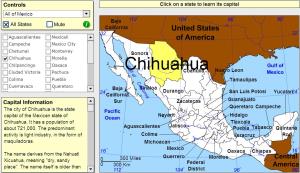
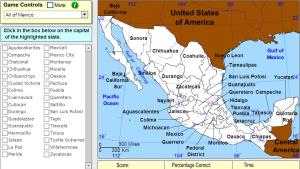
Click on the Mexican states to find out their capitals.
Pick the correct state for the highlighted capital by region.
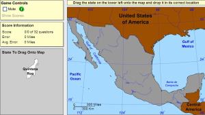
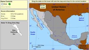
Drag each state onto the map.
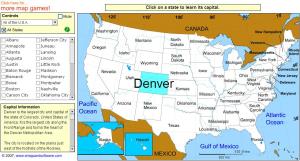
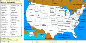
Click on the US States to learn their capitals.
Pick the correct capital for the highlighted state.
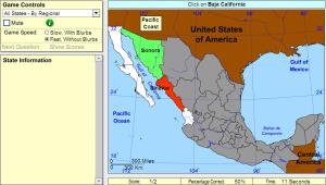
Click on the correct state (you may select regions).
Drag each state onto the map by region.
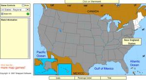
Click on the correct state. You may select regions.
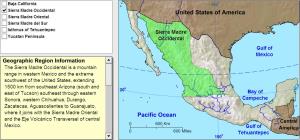
Learn the geographic regions of Mexico by clicking on regions.
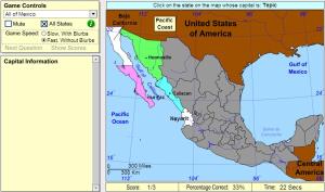
Pick the correct capital for the highlighted state.
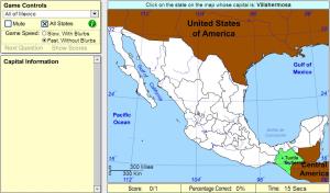
Pick the correct state for the highlighted capital.
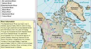
Learn the rivers of Canada by clicking on them.
Engadir a Didactalia Arrastra el botón a la barra de marcadores del navegador y comparte tus contenidos preferidos. Más info...


